Article
The freeway that Los Angeles almost finished — and then buried
“The ramp still points south. The sequel got canceled.”
For sixty years, planners tried to close a 4.5-mile gap in the 710 between Alhambra and Pasadena. Surface freeways, mega-tunnels, light rail, busways — and a stub that still points south into nothing.
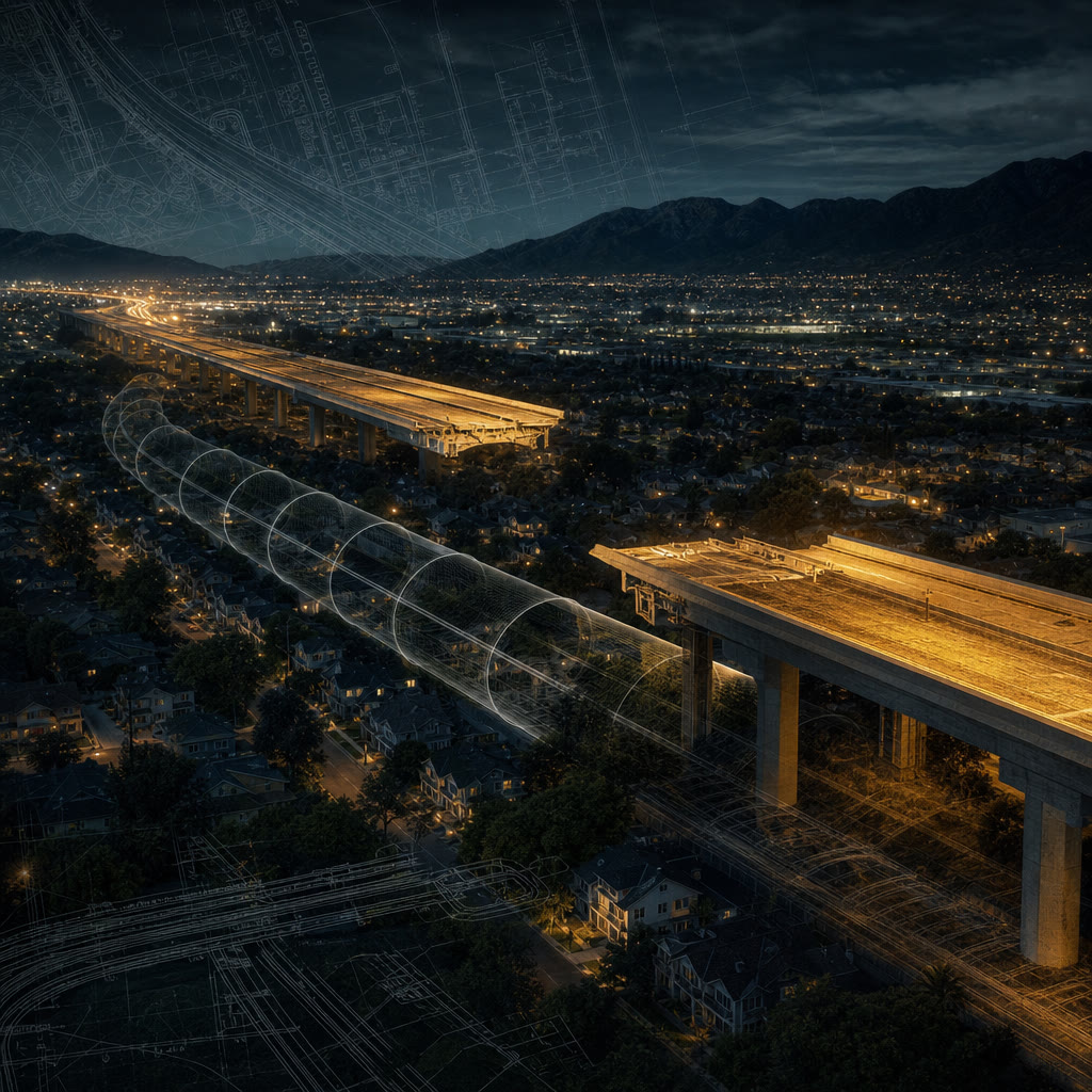
Los Angeles has a lot of unfinished business. Few pieces of it are as visible — or as contested — as the missing stretch of the Long Beach Freeway.
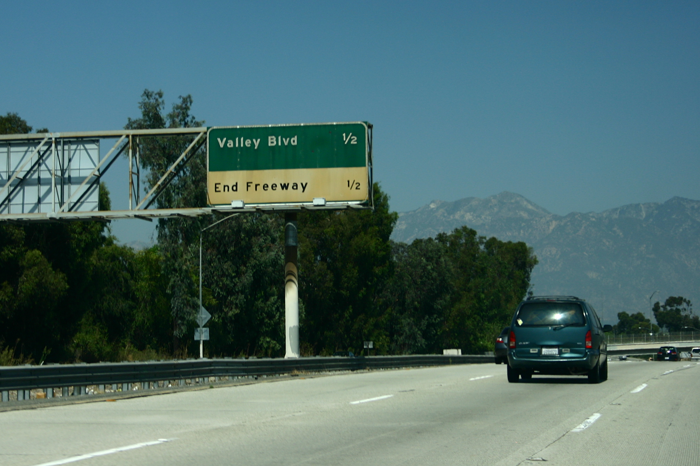
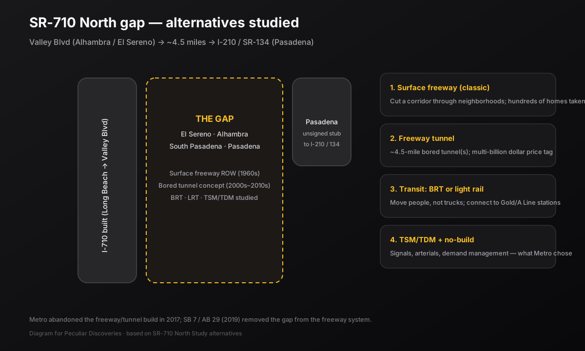
Interstate 710 runs north from the Port of Long Beach, past Commerce and East L.A., and then… stops. At Valley Boulevard, near Alhambra and the El Sereno neighborhood of Los Angeles, the concrete simply ends. About four and a half miles north, in Pasadena, another stub of freeway hangs off the I-210 / SR-134 interchange and points south toward neighborhoods it was never allowed to cut through.
In between: South Pasadena, El Sereno, Alhambra, and decades of maps that assumed the gap would eventually close.
How you get a freeway with a hole in it
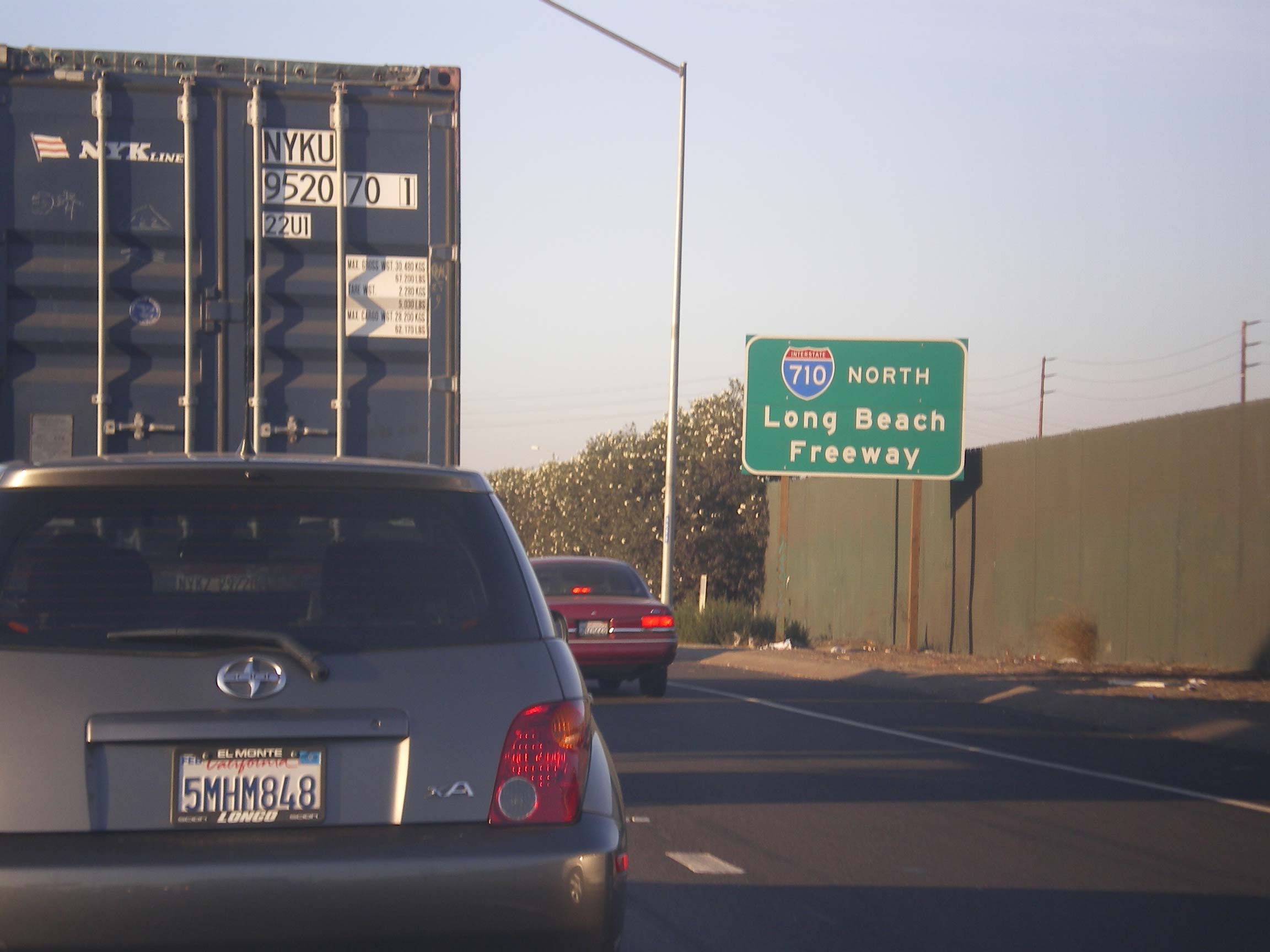
The idea is older than the Interstate shield. In the 1930s, a legislative route was drawn from San Pedro and Long Beach toward the San Gabriel Valley. By 1947 the planned line reached Pasadena. What became the Long Beach Freeway was built in pieces through the 1950s and early 1960s — first signed as State Route 15, then renumbered State Route 7 in 1964, and finally redesignated Interstate 710 in the mid-1980s.
The southern trunk worked. Trucks left the ports. Commuters moved. The northern connection to the Foothill Freeway (I-210) did not.
By the 1960s Caltrans was buying houses for a surface freeway corridor through El Sereno, South Pasadena, Pasadena, and Alhambra — hundreds of properties held for a right-of-way that would have sliced Craftsman streets into a trench. Roughly five hundred homes were purchased in that era alone. Many stayed in state ownership for decades, rented month to month, while the concrete never arrived.
South Pasadena, especially, dug in. Lawsuits, historic-preservation fights, and neighborhood organizing turned the “710 gap” into one of Southern California’s longest-running freeway wars. The southern stub stayed at Valley Boulevard. The northern stub — built around 1975 with the 210/134 interchange — never got a southern partner.
Proposal after proposal
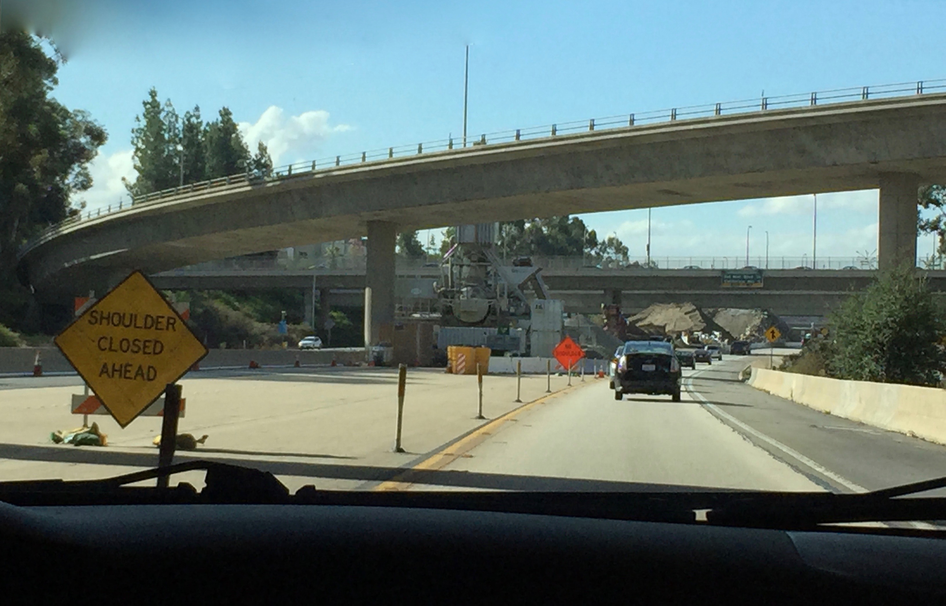
If you only remember “they wanted a tunnel,” you are missing half the peculiarity. The corridor was a design studio for sixty years.
1. The classic surface freeway
The original dream: finish a conventional freeway on the surface (or in cut) along the purchased right-of-way. Connect Valley Boulevard to the Pasadena stub. Move regional traffic off Fremont Avenue, Fair Oaks, and other arterials that absorbed the overflow.
Cost to communities: homes, schools, churches, and the fabric of streets that never asked to be a freeway median. That version never cleared the political and legal thicket.
2. The bored-tunnel era
In the 2000s, Caltrans and Metro shifted the pitch. Instead of cutting South Pasadena open, bury the freeway. Twin bored tunnels — on the order of 4.5 miles — were studied as a way to close the gap without a surface scar. Geotechnical work in 2009 called tunneling technically feasible across several zones. For a while the idea floated as one of the longest road tunnels in the United States.
It also floated a price tag measured in billions, plus questions about portals, ventilation, truck routes, induced demand, and whether a subterranean freeway still dumps traffic onto the same surface network at either end.
3. Bus rapid transit and light rail
When Metro and Caltrans ran the SR-710 North environmental study in the 2010s, the menu got multimodal. Alternatives advanced into the Draft EIR/EIS included:
- No Build — leave the gap as-is
- TSM/TDM — signals, operational fixes, demand management
- Bus Rapid Transit — a rapid bus spine with feeder service
- Light Rail — including tunnel/elevated segments tying toward Pasadena’s rail network
- Freeway Tunnel — single- and dual-bore concepts, sometimes with tolls or express-bus lanes inside
The peculiar part is how honest the study was about the problem: there is no completed north–south freeway between the 5 and the 605 for roughly a dozen miles. The gap is real. The fight was never whether traffic exists — it was what kind of machine you build to absorb it.
4. The map that never matched the street
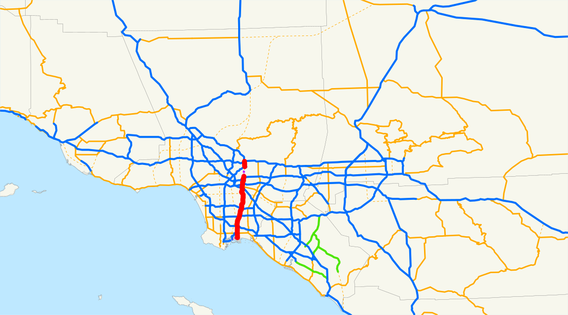
For years the California freeway system still contained the missing segment on paper. Signs on the built 710 pointed drivers toward Pasadena even when the concrete did not. Arterials did the improvisation. The stub in Pasadena stayed mostly unsigned as Route 710 — onramps labeled as if they only served I-210 — a freeway that existed as geometry more than as a named place.
The ending that is not really an ending
In May 2017, the Metro Board abandoned the freeway/tunnel build and moved Measure R money toward local mobility projects instead of gap-closure megaprojects. In 2019, Governor Gavin Newsom signed Senate Bill 7 and Assembly Bill 29, which blocked Caltrans from treating a freeway or tunnel as a feasible alternative between I-10 and I-210 and began removing that segment from the state freeway system. The laws took full effect into the 2020s; Pasadena has been reclaiming the stub (“the ditch”) for a reconnecting-communities master plan — housing, streets, and repair after an earlier round of displacement.
So the peculiar status today is this: the southern freeway still ends in a shrug at Valley Boulevard. The northern stub still looks like a project waiting for a sequel. The sequel has been canceled. The landscape remembers both.
Why this belongs in a peculiar catalog
Most freeways are boring until they fail. The 710 gap is interesting because it failed in public, for generations, while remaining half-built enough that you can still drive onto a ramp that leads nowhere useful and feel the ghost of a plan.
It is a museum of twentieth-century transportation logic — ports, trucks, through-traffic — colliding with neighborhoods that learned how to say no. It is also a gallery of twenty-first-century pivots: if you cannot cut the city, tunnel under it; if you cannot tunnel, try rail; if you cannot rail, retune the lights and give the land back.
Next time you are on Fremont Avenue watching freight and cars share a street that was never meant to be a freeway substitute, you are not stuck in ordinary traffic. You are stuck in a sixty-year argument that the concrete never got to settle.